Town Common Vegetation Communities
|
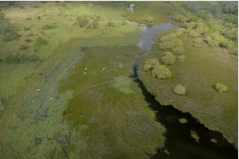
During
the wet season (usually between November and April) a freshwater
wetland is formed in the swale of the old dune system and dominates the
environment for three to six months. During this time the area becomes
a shallow lake and is quickly colonised by a range of aquatic and water
tolerant freshwater plant species and associates.
|
 |
|
|
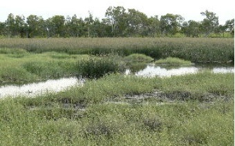 |
The
Bulkuru sedgeland is dominated by the Water Chestnut or Bulkuru Sedge
(Eleocharis spiralis), which is an important food source for the Brolga
(Grus rubicunda) and Magpie Geese (Anseranas semipalmata). This
sedgeland may be influenced by extremely high tides once every few
years, but are predominantly shaped by fresh water influences.
|
|
The
gentle grade and subtle topographic variation creates a seasonal
transition of vegetation from herbs and forbs to grasses and sedges. As
the moisture levels of adjacent wetlands change with the seasons (wet,
dry and in between) the suite of vegetation growing in these areas also
changes.
King tides reach into these areas
creating dynamic environments with different species dominating at
various times depending on the prevailing climatic influences and
seasonal cycles.
|
 |
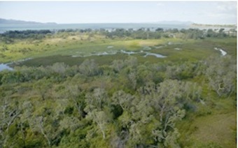 |
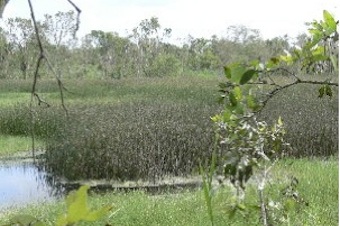
Paperbark
woodlands occur on poorly-drained soils where freshwater accumulates
during periods of high rainfall. Occurring here on the transition zone
between the Samphire Forbland/Bulkuru Sedgelands and the mixed
bloodwood woodland. These habitats are highly productive ecosystems.
|
|
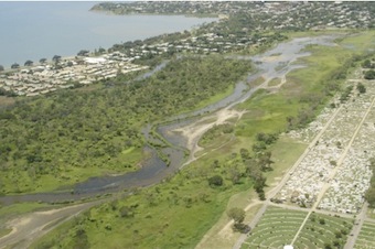
The extent of estuarine wetlands
is determined by how far the highest tides of the year can infiltrate
into the wetland complex.
For much of the year the estuarine parts of the Rowes Bay wetland are
saltpans and become inundated with a shallow cover of water during the
highest tides of the year.
When the water recedes and evaporates salt is left behind adding to the
salinity levels. One advantage of the salty water is its contribution
to weed control.
|
 |
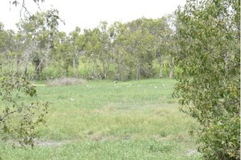 |
The
‘aquatic’ grasslands here are dominated by Saltwater Couch (Sporobolis
virginicus) and are inundated by the highest tides a few times each
year.
Throughout this community there are the occasional pockets of herbs,
sedges and samphires. The soils are generally salty but tend to be less
saline than soils of the Samphire Forblands.
|
Terrestrial
grasslands are dominant on the landward side of forblands above the
salt water influence. They are dominated by native grasses that are
also present in the woodlands. This is one of the wetland zones most
susceptible to invasion by weeds along with the margins of freshwater
wetlands.
|
|
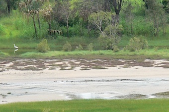
Samphire
Forblands occur mainly on the edge of the intertidal zone between
saltpans and mudflats and ‘dry’ ground. This is a hypersaline (very
salty) environment that is only inundated by the highest spring tides.
Soils are grey mottled clays with a crusting surface and are highly
saline/sodic.
|
 |
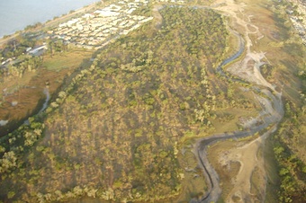 |
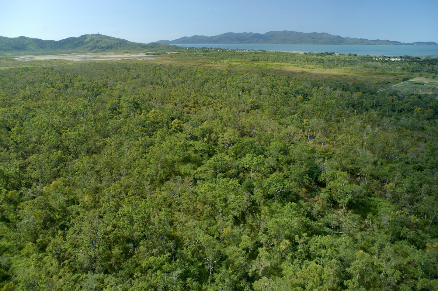
Coastal
processes have developed an extensive system of low sand dunes and
ridges, which run roughly parallel to the coast between Kissing Point
and Pallarenda i.e. the extent of Rowes Bay.
The remnant of an inland dune forms a sand island (6 to 8 metres above
sea level) that partially encloses the Rowes Bay wetland and provides
habitat for woodland and vine thicket species.
|
|
The
Eucalypt woodland is a classic Australian savanna landscape with a mix
of species and vegetation communities and varying degrees of plant
density and tree canopy cover.
Native grasses are an important part of savanna woodlands with Kangaroo
grass (Themeda triandra) and
Black Spear Grass (Heteropogon
contortus)
being typical indicators of undisturbed areas.
|
 |
Common species in the upper canopy of this broad
vegetation community include: Moreton Bay Ash (Corymbia tessellaris) and Coastal
Bloodwood (Corymbia clarksoniana).
Other species include Beach Wattle, Native Ebony, Beach Tuckeroo, Red
Ash, Mango Bark and the occasional large Cloudy Paperbark.
Typical species in this broad
vegetation community include: Moreton Bay Ash (Corymbia tessellaris)
and Coastal Bloodwood (Corymbia
clarksoniana). Other species
include Beach Wattle (Acacia
crassicarpa), Native Ebony (Diospyros
geminata), Beach Tuckeroo (Cupaniopsis
anacardioides),
Red Ash (Alphitonia excelsa),
Mango Bark (Canarium
australianum) and the occasional large Cloudy Paperbark (Melaleuca
dealbata). |
|
As
with most natural places next to human settlement there is a range of
exotic plants (weeds) on the fringes including some that ‘escape’ from
captivity in people’s gardens and public parks. This is on top of the
normal weed suspects from rural areas, roadsides and other transport
corridors and the blow ins.
We
ask community members living near natural areas and waterways to help
prevent the spread of invasive exotic species that impact the natural
values of these unique places. For more information see
www.creektocoral.org.au/
|
|
It may sound a bit strange (or
obvious) that wetlands are only wet when they’re wet and can be dry for
months at a time.
The Rowes Bay wetlands are considered to be ephemeral because they
aren’t wet all the time. The wetlands can be wet or dry as well as
fresh and salty.
Freshwater flows into the wetlands from the surrounding catchments
after rain events and the sea flows into parts of the wetlands from
Mundy Creek on the highest tides.
The old sand dunes that form islands and ridges are also important as
without these dry ‘containers’ there would be no wetlands.
The combination of seasonal variation and tidal influence creates an
ever-changing landscape suited to a particular range of plants and
animals.
The range of plants is relatively stable, as they have adapted to the
conditions. It would require a significant shift in climate and
landscape characteristics to have a long-term impact on the vegetation
communities.
Short-term climatic variations are more readily noticeable and can
result in dry wetlands and conditions that don’t suit either resident
or visiting animals.
|
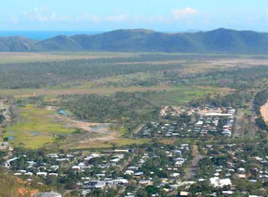
May 2011
The wetlands start to dry out after an extended wet season.
|
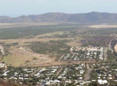
October 2011
The wetlands are drier with more dust and smoke in the air.
|
